A railroad bridge built in 1887 still stretches nearly 1,500 feet across the Connecticut River, carrying travelers today on bicycles and on foot rather than heavy locomotives. With open water flowing below and the rolling hills of western Massachusetts visible in the distance, the iconic span serves as the centerpiece of a transformed transportation corridor that has become one of the region’s premier recreation paths.
The bridge is only part of the experience. The broader route encompasses an old railway corridor converted into a paved recreation trail featuring gentle grades, wooded stretches, wetlands, and sweeping views of local farmland. It presents an appealing option for individuals seeking beautiful scenery without the demands of a steep mountain hike. Visitors frequently discover that covering the entire route is unnecessary to enjoy its best features, as a shorter trip still delivers the historic bridge and lovely riverside views.
Before visiting, however, travelers should check current conditions, as a section of the trail is temporarily closed for repairs, making the choice of a starting point particularly important. With a little planning, the outing combines outdoor recreation with a fascinating piece of local history.
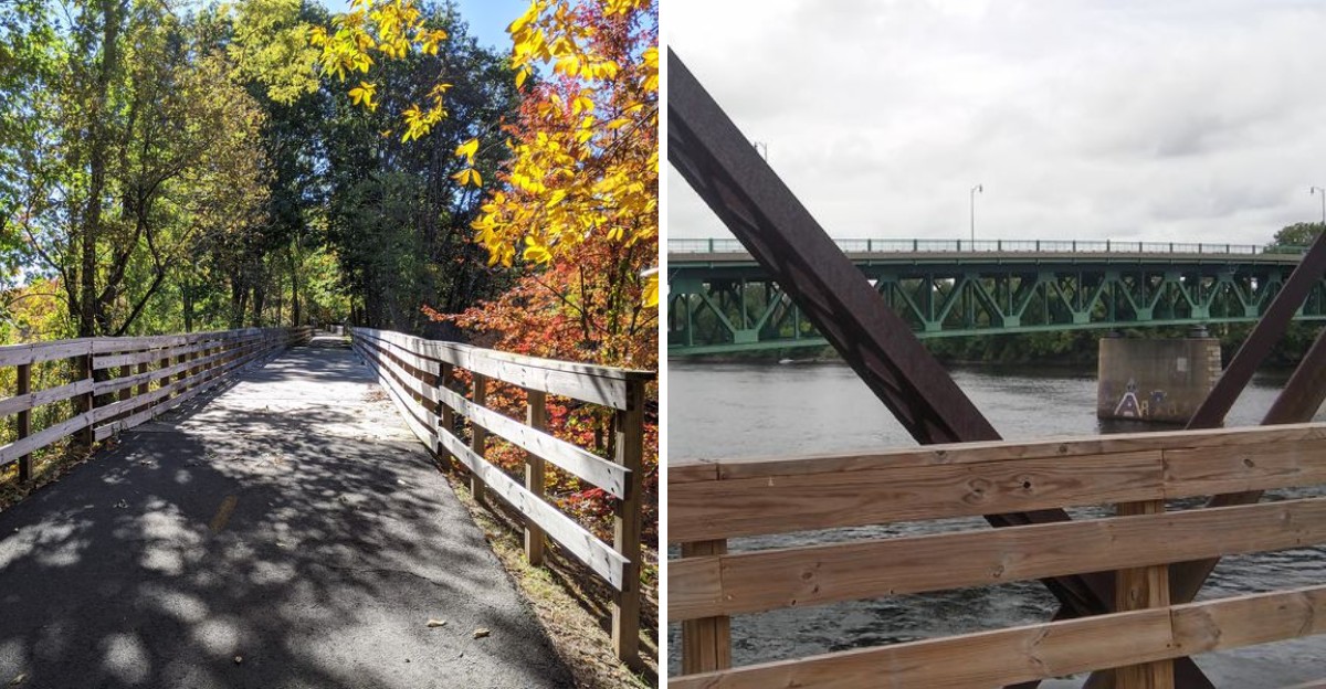
A Railroad Line That Traded Locomotives For Bicycles
Trains once rumbled through the Pioneer Valley, hauling passengers and freight along a corridor originally operated by the Central Massachusetts Railroad. Passenger service on the line ran until 1932, while freight operations kept the rails busy until 1974. Following the cessation of train traffic, the land sat quiet until the Commonwealth of Massachusetts purchased the corridor in 1980 in a move that ultimately preserved the right-of-way for public use.
In 1993, the Norwottuck Rail Trail officially opened to the public as a paved recreation path. That history explains why the route feels so unusually straight. Nineteenth-century railroad engineers sought to avoid steep hills and sharp curves, grading the terrain to be as level as possible. Walkers and cyclists now inherit that careful engineering work more than a century later.
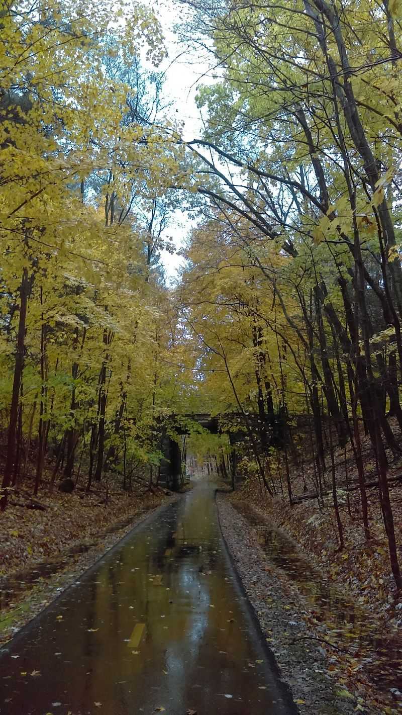
Traces of the old rail era remain visible along the way. Stone abutments, cuts through hillsides, and gentle embankments all point back to the route’s industrial past, while underpasses carry the path beneath roads to spare travelers from traffic lights. The transformation represents recycling on a grand scale, turning a forgotten strip of gravel into an eleven-mile ribbon of pavement that ranks among the most gracefully aged conversions in New England. Knowing this backstory enriches the outing, turning every flat mile into a subtle encounter with nineteenth-century infrastructure.
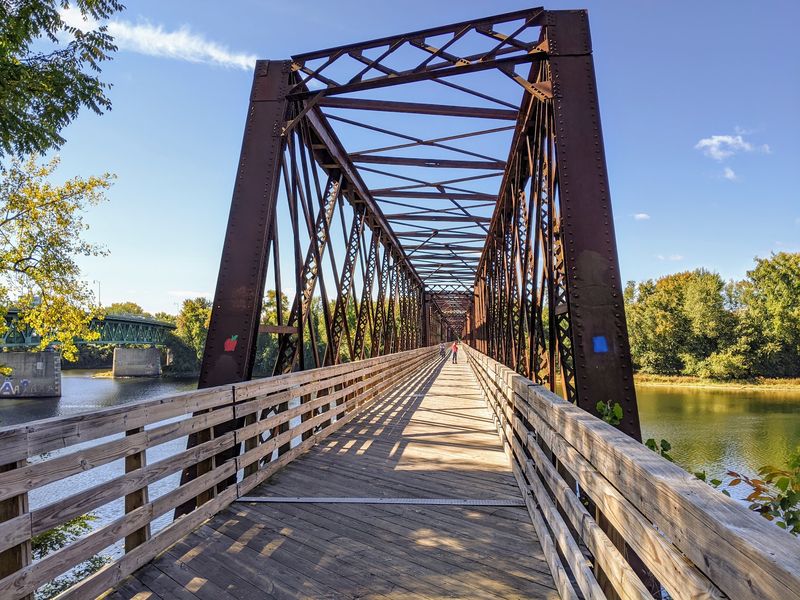
The 1887 Bridge Over The Connecticut River Steals The Show
While the entire trail offers scenic highlights, the historic bridge captures the most attention. Built in 1887 by the Central Massachusetts Railroad, the steel lattice truss span crosses the Connecticut River between Northampton and Hadley, stretching approximately 1,492 feet. After decades of rail traffic, the structure was reworked and reopened in 1992 for non-motorized travel, offering pedestrians and cyclists a rare perspective above the water.
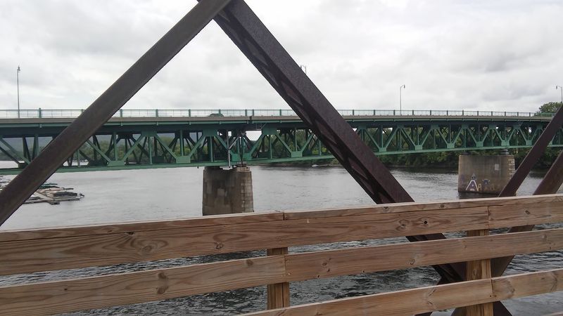
The views from the bridge encourage visitors to stop rather than merely glance around. Water spreads wide below the structure, farmland extends across both banks, and distant hills frame the horizon, with morning and late afternoon light offering particularly striking conditions. Cyclists are advised of one practical detail: the bridge deck runs slightly rougher than the surrounding asphalt, meaning road bikes with skinny tires will feel every seam, encouraging a slower pace to appreciate the surroundings.
Photographers frequently take advantage of the setting, using the geometric ironwork of the lattice truss as a natural frame while the river reflects the sky. Standing above moving water on a structure dating back to the nineteenth century anchors the entire trip, setting it apart from any other feature on the route.
Eleven Paved Miles With Almost No Hills
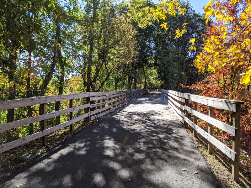
The trail follows a mostly level former railroad corridor, featuring gentle grades well-suited for casual cyclists and walkers. Because the minimal elevation change is distributed across eleven miles, the physical demands on travelers remain remarkably low. Pavement covers the full distance, accommodating rollerblades, strollers, and road bikes alike, thereby building confidence quickly among beginners.
The complete trail measures approximately 11 miles each way, though a 500-foot section in Amherst remains closed for repairs, temporarily preventing an uninterrupted 22-mile round trip. Many families complete shorter segments in two to three hours with a few breaks, and younger riders around ten years old manage the terrain regularly. Visitors are under no obligation to complete the entire path, as a three-mile journey out and back still delivers ample scenery, shade, and fresh air.
The trail surface requires some attention, as tree roots have pushed up a few bumpy patches over the years. Maintenance crews continually work to smooth the path, and recent repairs have improved conditions significantly. The eastern half runs especially clean, featuring only a single road crossing that helps maintain a quiet, meditative rhythm for those turning the pedals.
Where To Start For The Best Views Of The Historic Railroad Bridge
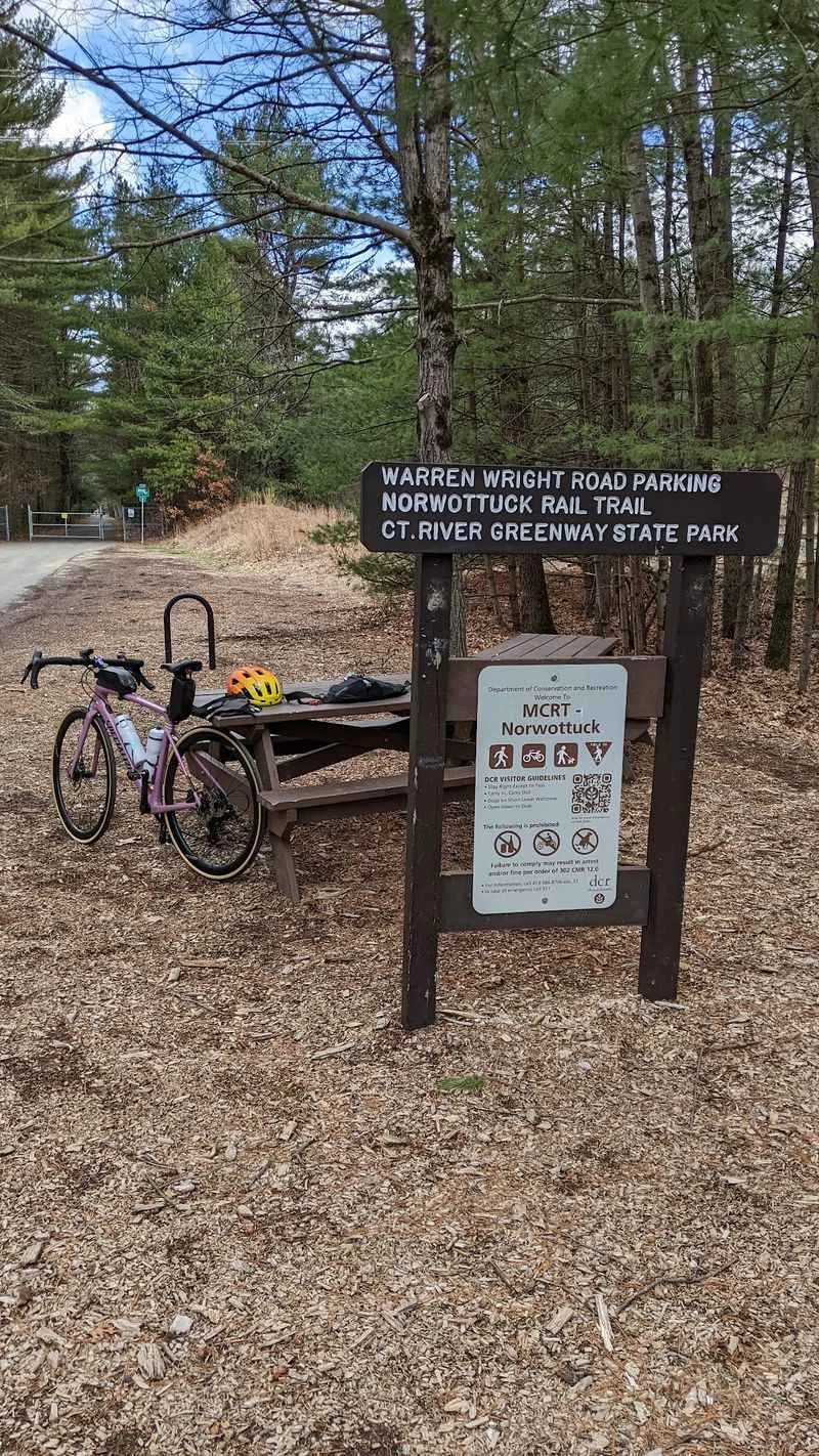
Parking accessibility significantly influences the quality of an outing, and the Norwottuck Rail Trail Trailhead on Warren Wright Road in Belchertown offers a straightforward, easy-to-reach lot. Riders starting in Belchertown enjoy the eastern stretch of the trail, though the current Amherst closure prevents them from reaching the historic Connecticut River bridge entirely by path. This eastern section offers fewer road crossings, deeper woods, and a calmer atmosphere than the busier western segments near Northampton.
The trail is generally open from sunrise to sunset daily, prompting visitors to plan around daylight hours. Additional access points are scattered along the corridor, including Station Road in South Amherst, Railroad Street in Hadley, and the Elwell Recreation Area in Northampton, depending on individual itineraries. Some groups utilize a shuttle strategy by leaving one car at each end of the route, riding one direction, and skipping the return trip entirely to accommodate mixed fitness levels. Arriving early on bright weekends is recommended, as the Belchertown lot fills quickly during peak weather and Massachusetts foliage season.
Scenery That Refuses To Stay The Same
The visual environment along the route shifts continually, transitioning within a few miles from shady hardwood forests to open wetlands and classic valley farmland. Marshes adjacent to the path attract abundant wildlife, including herons in the shallows, red-winged blackbirds calling from cattails, and turtles sunning on logs, while a beaver pond near Amherst remains a popular viewing spot.
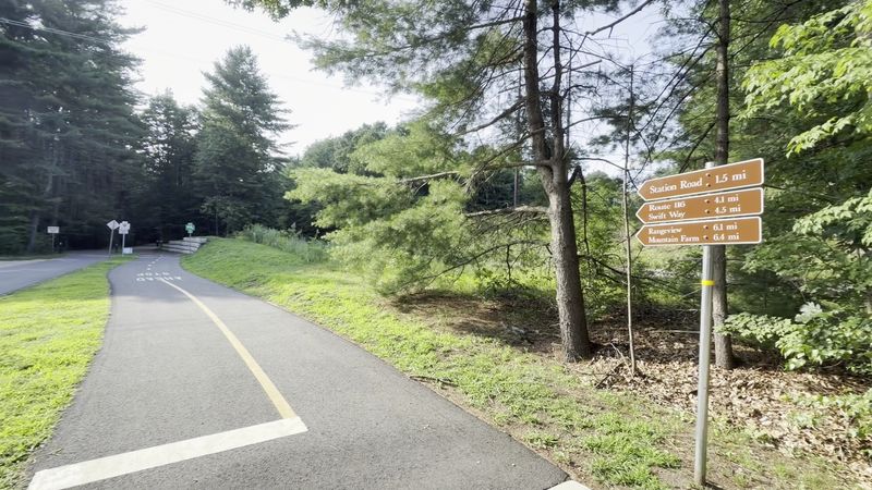
Farming fields open up expansive views of the sky, with crops like corn, squash, and hay stretching toward the Holyoke Range and the Seven Sisters peaks in the distance on clear days. Seasonal changes dramatically alter the landscape, from the green growth of spring and the leafy summer canopies to the brilliant autumn foliage of the maples and the open vistas of winter. Once snow accumulates, cross-country skiers frequently claim the corridor, utilizing the same flat grade that serves cyclists during warmer months.
Four Towns Strung Together Like Beads
Geographically, the corridor links Belchertown in the east to Northampton in the west, passing through Amherst and Hadley along the way. While a temporary closure in Amherst currently interrupts travel along the full length, the route successfully connects four distinct communities. Amherst brings college-town energy, with the path skirting campuses, playing fields, and residential neighborhoods where students use it for both commuting and recreation. Hadley offers practical mid-route stops, placing shops, restaurants, and shopping areas within a short detour from the pavement.
Northampton anchors the western end with a lively downtown, offering continued connections toward the Manhan Trail and Look Park that can easily extend an afternoon excursion into a full day. Belchertown maintains a peaceful eastern terminus characterized by woods, farmland, and minimal traffic noise. Once the closed section reopens, traveling the entire route will provide a comprehensive look at western Massachusetts, transitioning smoothly from quiet forests to campus life, agricultural fields, and vibrant downtown areas.
Sharing The Path Like A Pro
High volume on the trail makes adherence to basic etiquette essential for a safe and pleasant experience. Travelers are expected to stay to the right and pass on the left. Cyclists frequently use a bell or call out a friendly warning before passing to avoid startling families with small children. Groups are encouraged to ride single file when the path grows crowded to prevent blocking the full width of the pavement.
Dog owners must keep leashes short around blind curves, as long leads stretched across the path present a serious hazard for faster-moving cyclists. Because the trail is closed to motorized vehicles under Massachusetts Department of Conservation and Recreation guidelines, visitors should maintain a moderate pace regardless of what they ride. Commuters utilize the corridor daily alongside recreational visitors, making courtesy a vital component in preserving a welcoming atmosphere for everyone.
Planning A Trip That Actually Works
A successful outing depends largely on thoughtful preparation. Early mornings provide cooler air, softer lighting, and lower visitor traffic. While some water sources are available along the route, carrying personal bottles ensures adequate hydration on warm days. Cyclists benefit from choosing hybrid bikes with wider tires, which handle bridge decks and root-lifted pavement far more comfortably than racing-slim tires.
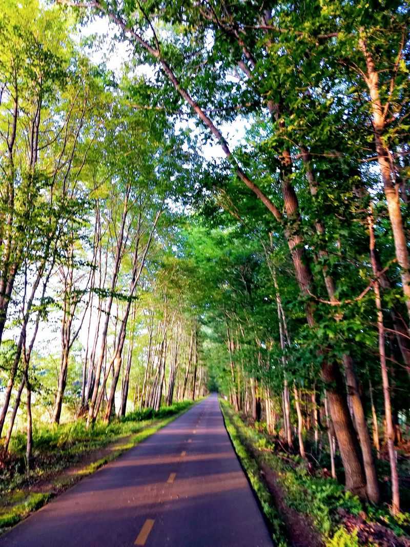
Autumn remains a premier season for visiting the corridor, as the changing foliage complements the flat terrain that allows riders to enjoy the scenery safely. Families can maintain a cheerful mood by breaking the journey into manageable segments with planned snack stops. Official updates regarding maintenance notices remain available on the state website for the Norwottuck Rail Trail. Visitors focusing specifically on the historic Connecticut River bridge are advised to start at the Elwell Recreation Area on Damon Road in Northampton and review current advisories before arrival.